Airport
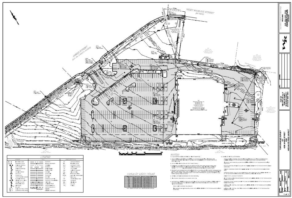
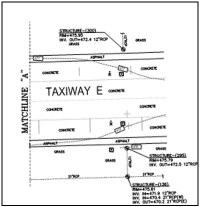
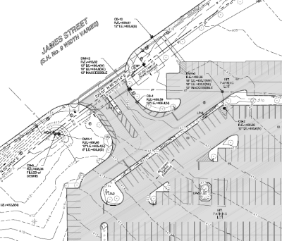
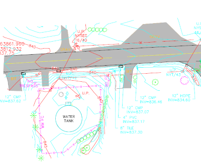
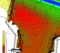
We offer High Accuracy Digital Terrain Modeling and Base Mapping for features pertaining to Airport Design and the unique challenges they can present. We are also experienced working in a secured area and have the technology to get the job completed with as little impact on security as possible.
- Airport Survey 1
- Airport Survey 2
- Airport Survey 3
- Airport Survey 4
- Airport Survey 5
Highway/Bridge
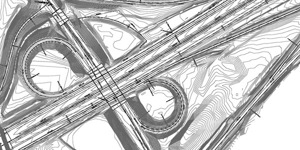
Similar to Airports Highway Bridge mapping presents its own challenges and requirements for accuracy. For example while a GPS RTK survey may be adequate for a total reconstruction design it does not in many cases achieve the level of positional accuracy needed for a pavement rehabilitation or Truing and Leveling Design. Whether it be a GPS survey or a higher accuracy Robotic Total Station survey we will do our part to make sure the proper means and methods are being employed on your project.
Site
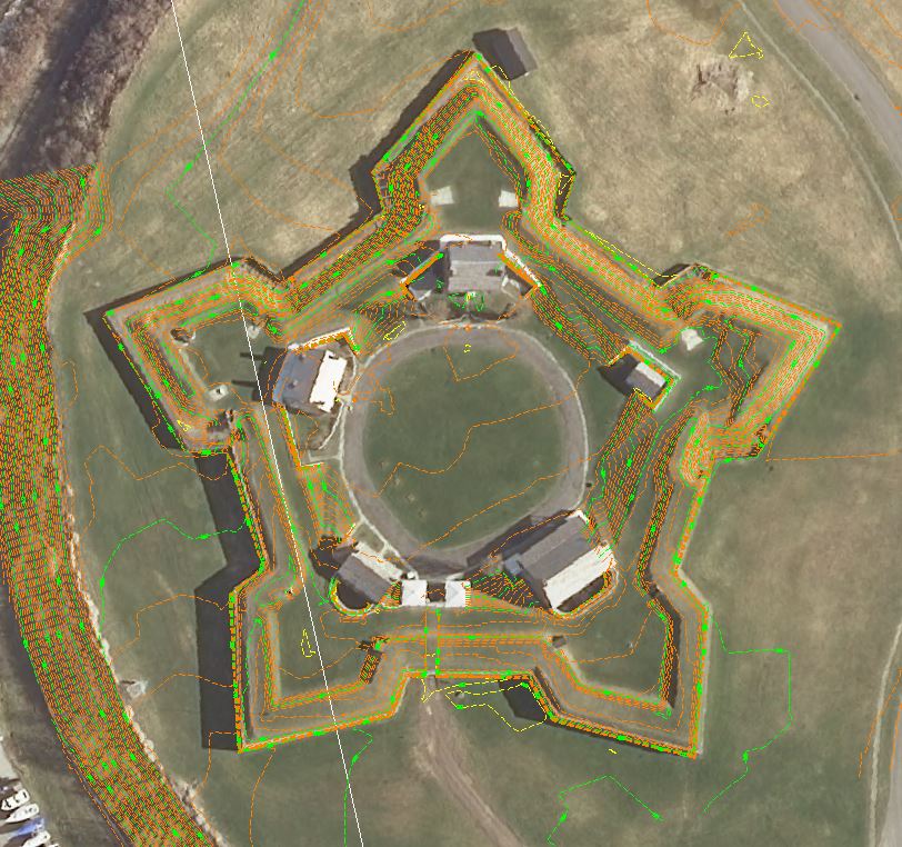
Aerial Photogrammerty
For many applications we can complete your Base Map using Aerial Photogrammetry including scheduling the initial flight for the digital imagery the survey will be derived from to the final product. This method of mapping is adequate for many projects adding value by keeping mapping costs to a minimum particularly on larger tracts.
ALTA/ACSM
We offer ALTA/ACSM surveys to the most recent set of national standards put forth by the American Congress on Surveying and Mapping and adopted by the American Land Title Association.
Sub-Surface Utility Location
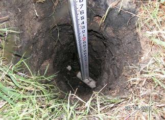
Contact us for your underground utility needs for everything from Level A to Level D confidence level location.
For More Information about Our Business Call (315) 458-8979
Warren Ramie Surveying 6437 Collamer Rd., East Syracuse, NY 13057 info@warrenramie.com
